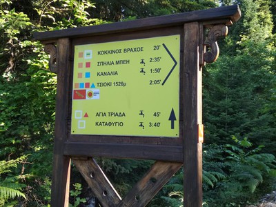
ROUTE Porta Panagia – Pyrra
Pyli – Porta Panagia – Kotroni – Elati – Korp – Fairy Village – Pyrra
Address
Pyli 420 32
GPS
39.459955919523, 21.609817743301
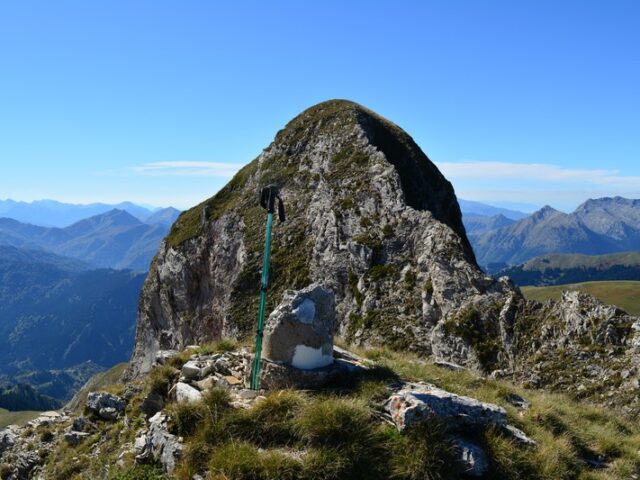
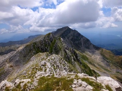
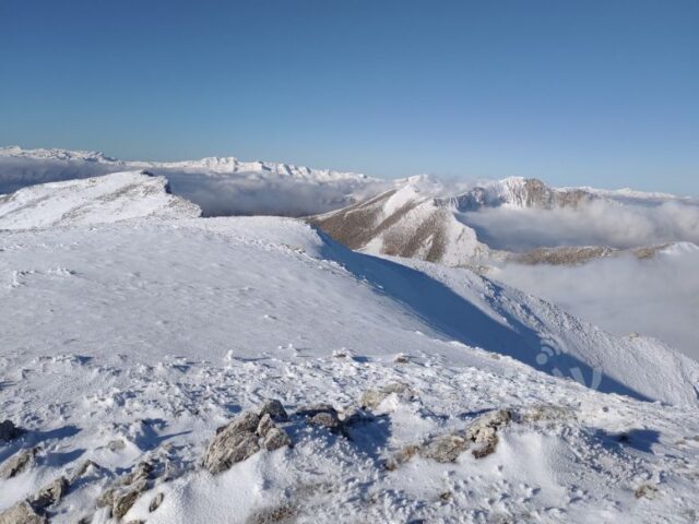
Distance 33.580,00 m | Technical Difficulty Moderate Max Altitude 1259 m. | Duration 14 hours and 20 minutes
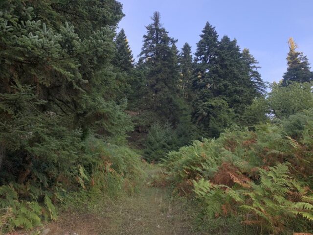
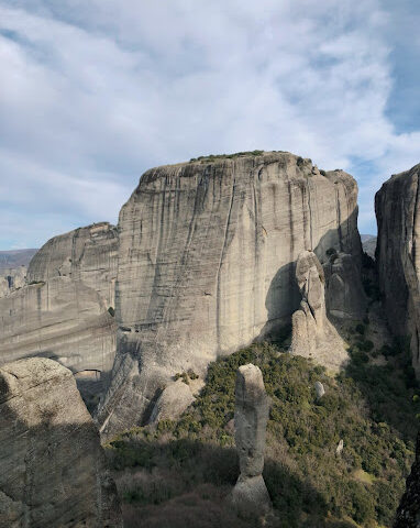
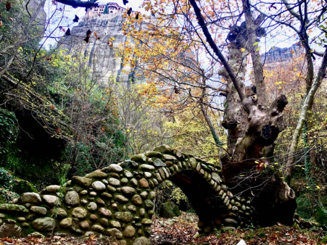
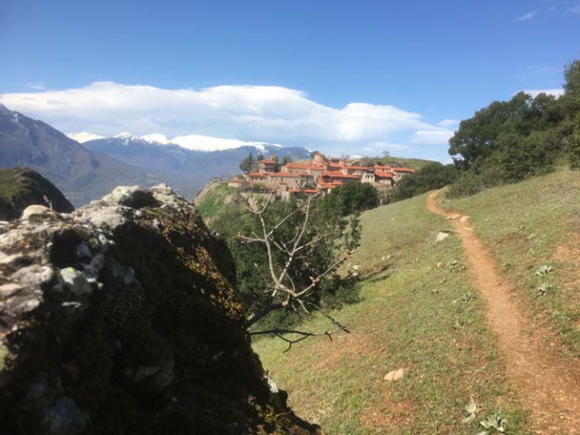
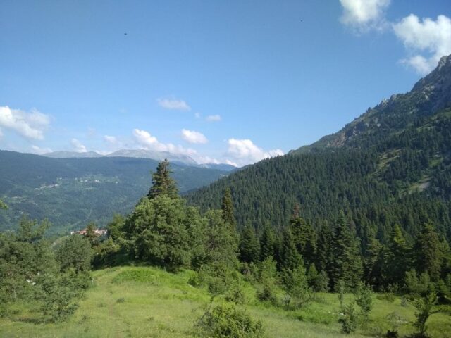
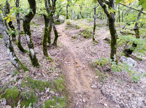
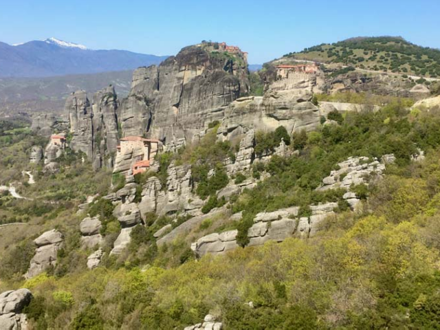
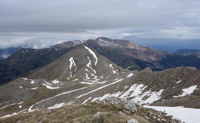
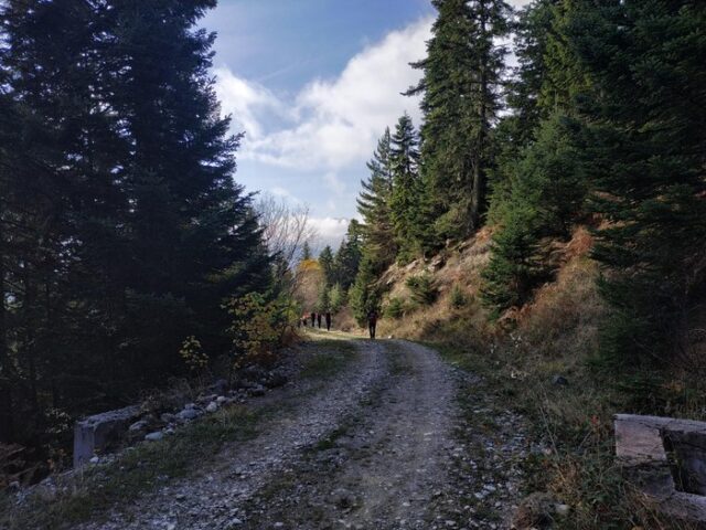
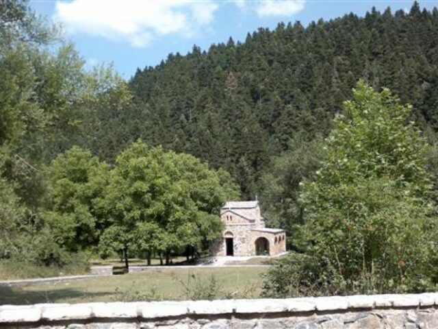
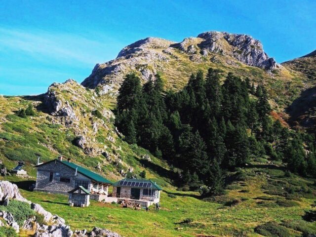
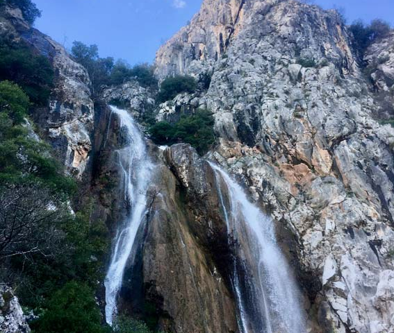
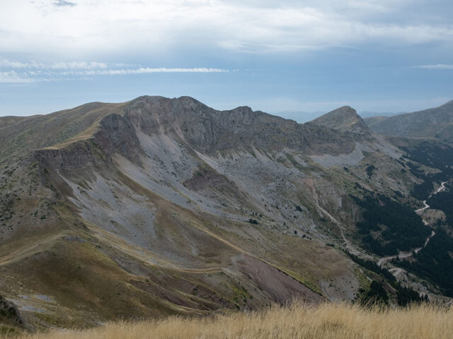
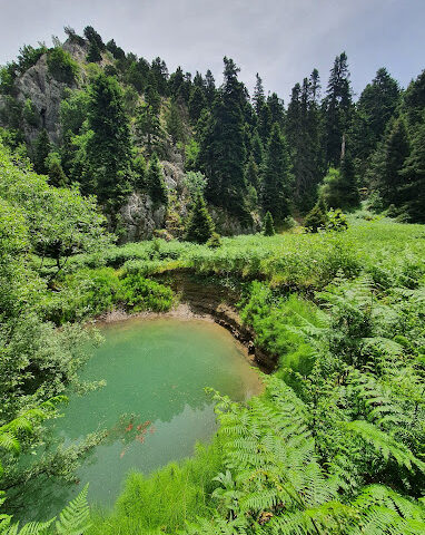
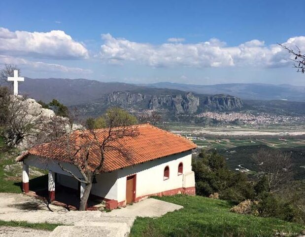
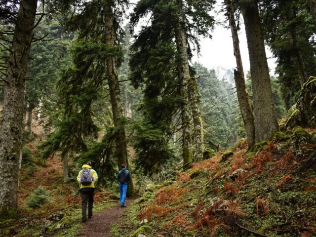
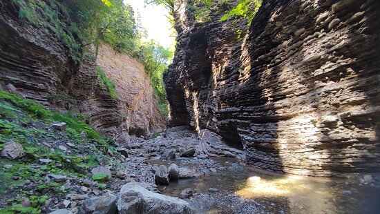
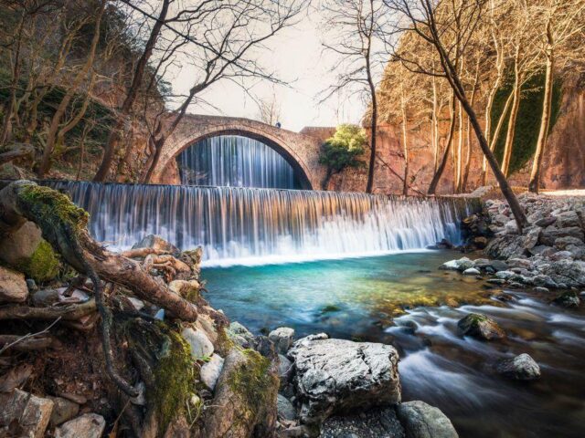
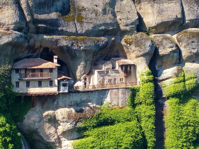
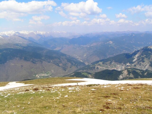
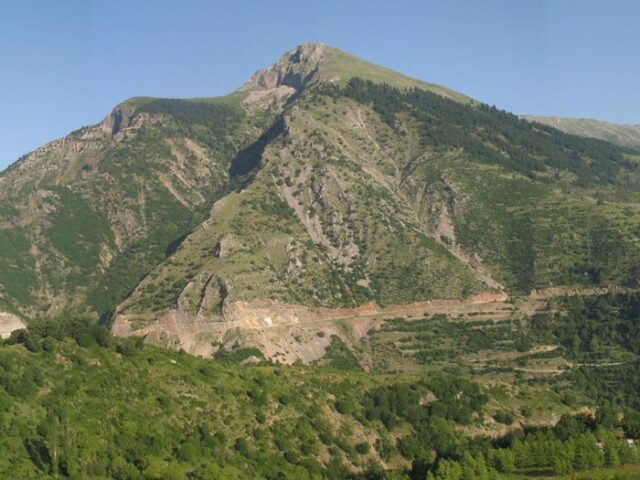
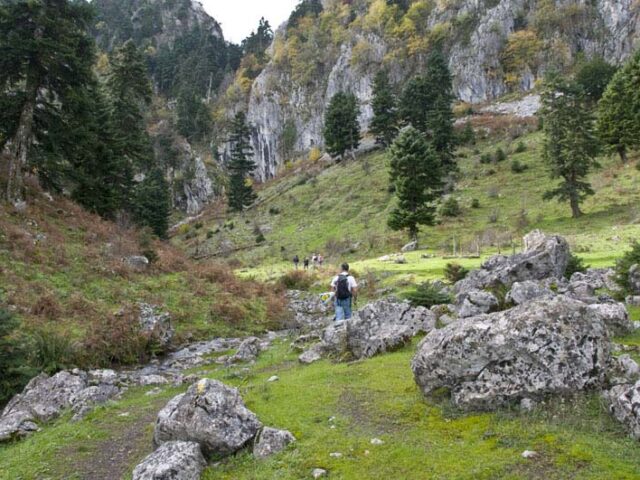
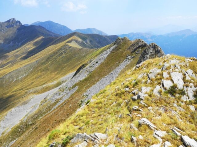
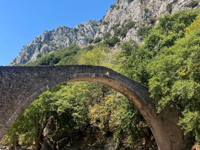
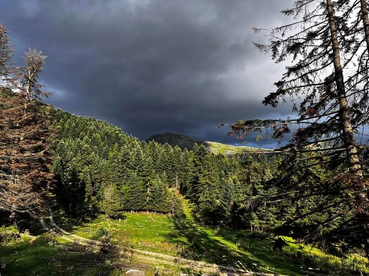
The Vlachostrata is the main path (strata) of the residents of the mountain of the region of Trikala from the lowlands to the lowlands and vice versa from the lowlands to the mountains and Epirus. The Vlach villages of Trikala are numerous and in the summers they were full of life and thousands of domestic animals. Every spring the cattle would go uphill from the Vlachostrata and in the autumn they would return by the same road to the valleys. The route starts from the Byzantine church of Porta Panagia and after passing the bridge of Agios Vissarionas it reaches Kotroni. Crossing Kotroni, it reaches Elati and continues past Kakorema to the settlement of Vlacha and Korp. After Xylogefyro the Vlachostrata is very well preserved, built on the steep slopes of the gorge and passing by the historic stone bridge of Smixi Neraidochori it reaches the village square. The path continues parallel to the river but much higher until it meets the village of Pyrra.