ROUTE Pialia – Smixis Bridge
Pialia – Mpei’s Cave – Trypio Lithari – Koziakas Refuge – Ski Centre – St. Kiriaki – Pertouli – Gorge – Smixis Bridge
Address
Pialia 421 00
GPS
39.5054133, 21.5952513
Distance 28.700,00 m. | Technical Difficulty Moderate | Max Altitude 1814 m. | Duration 14 hours
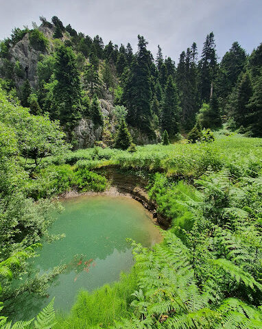
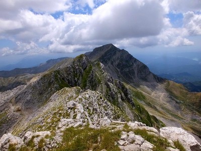
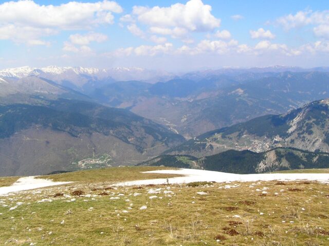
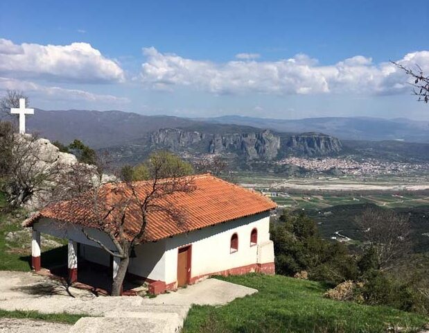
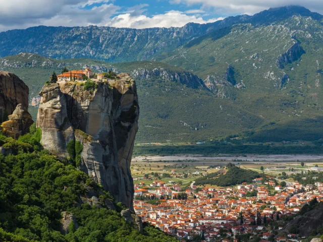
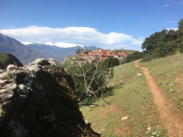
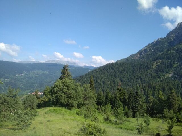
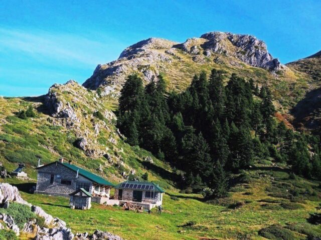
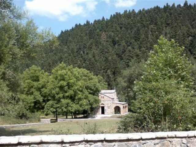
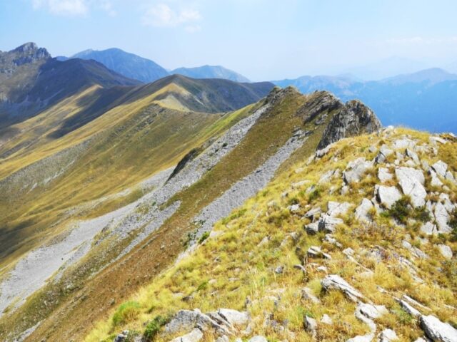
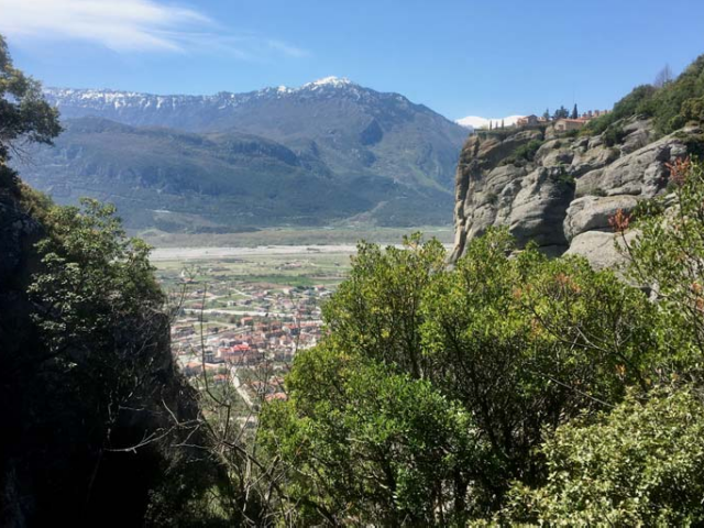
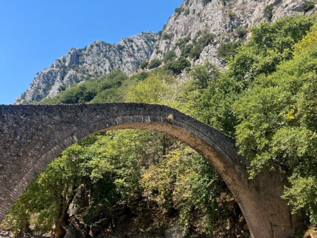
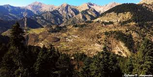
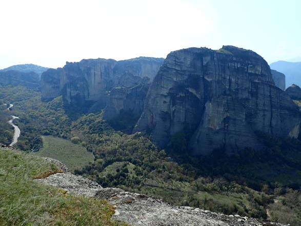
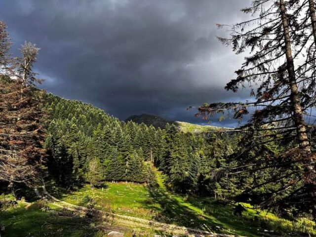
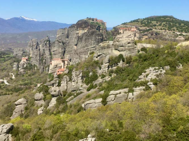
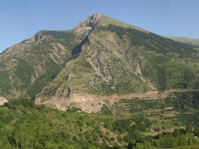
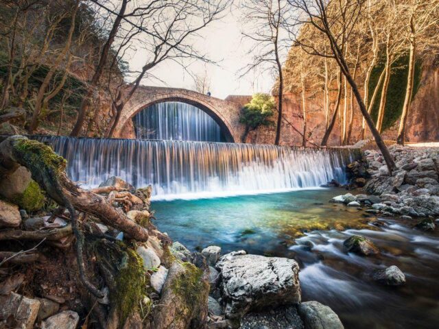
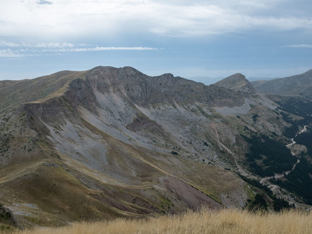
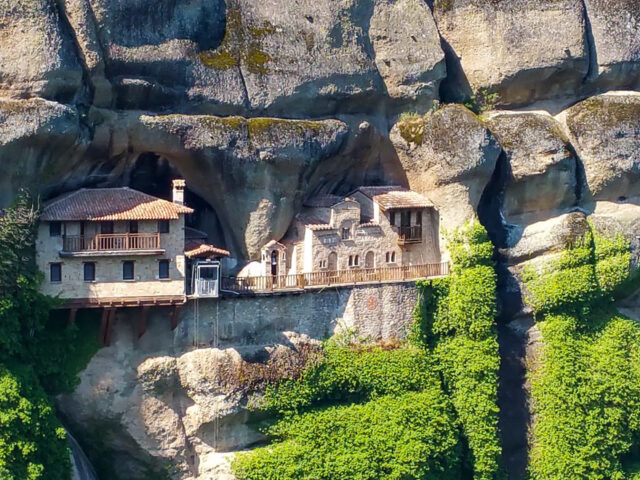
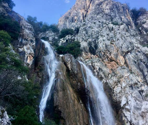
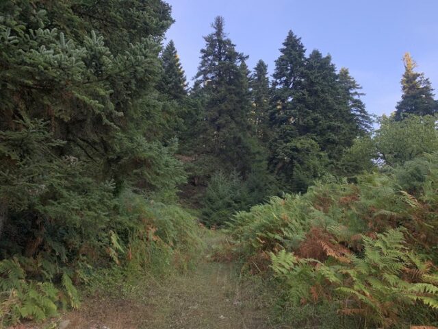
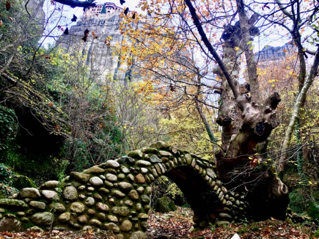
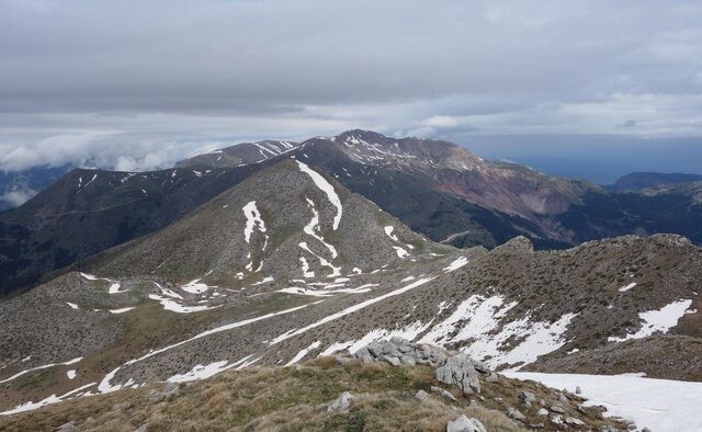
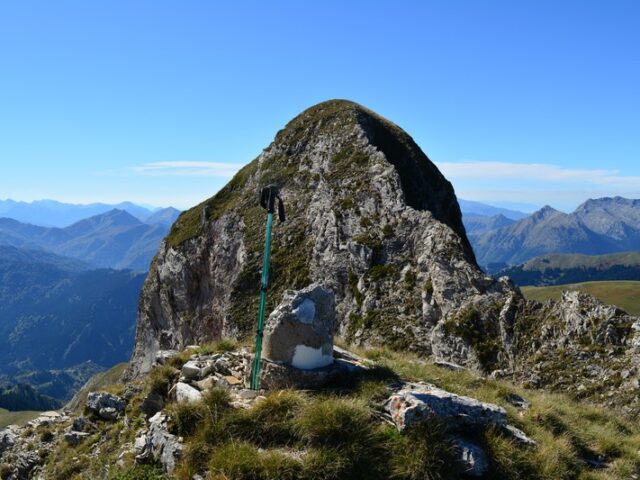
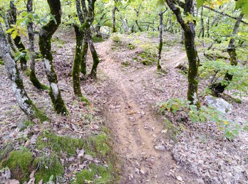
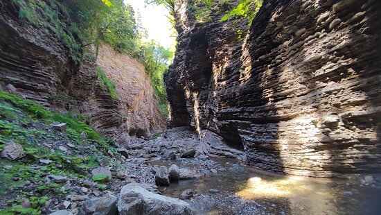
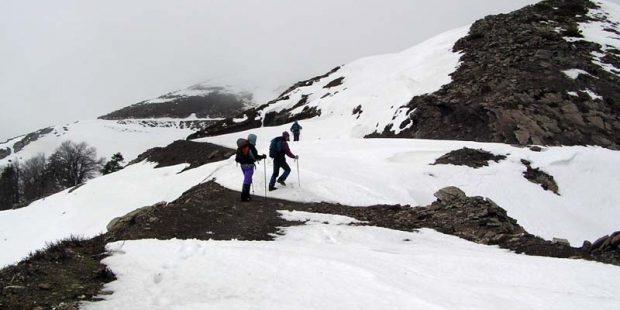
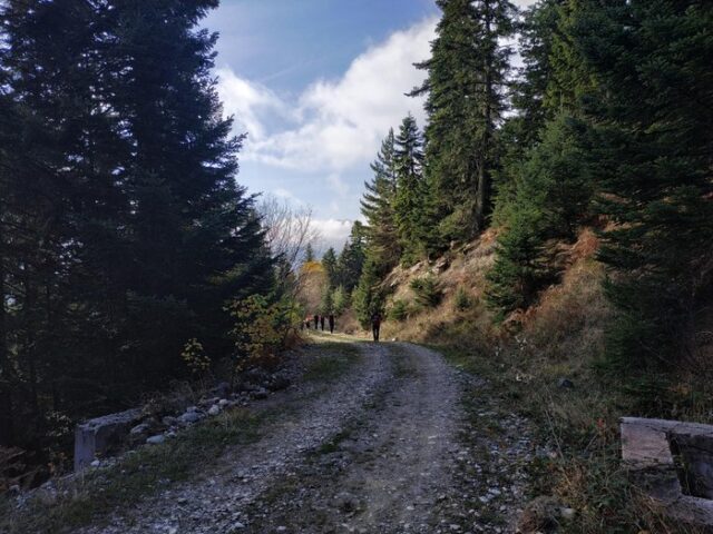
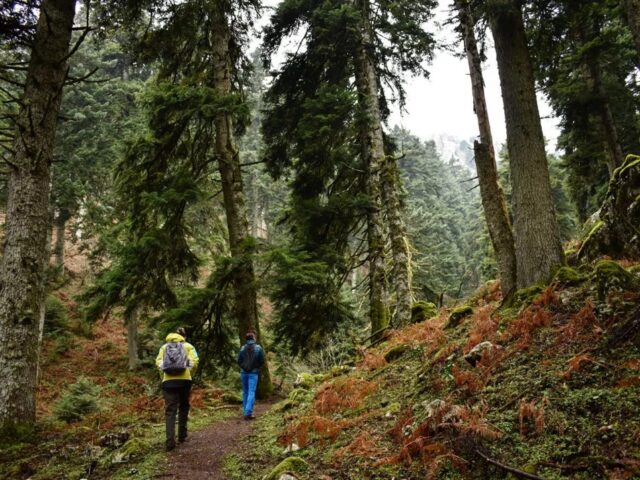
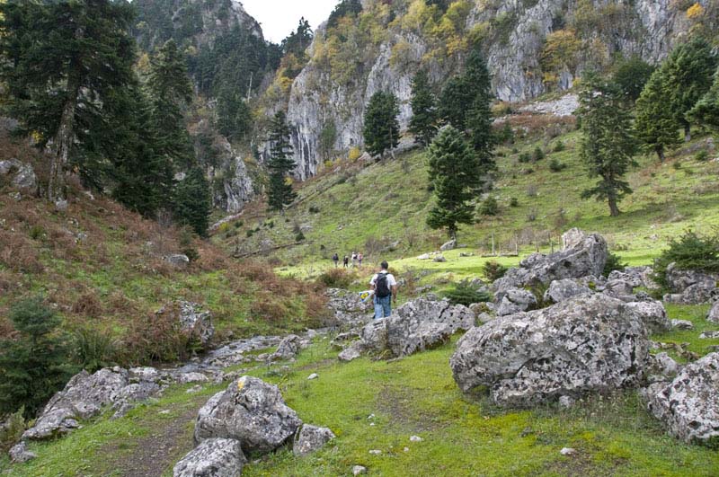
The trail starts from ancient Pialia and after crossing a forest with deciduous trees, of the eastern side of Koziaka, it reaches the fir forest at the Bay site. At the Bey position there is a large cave with a waterfall at the entrance and a beautiful plateau. The route crosses the valley to the Kostas site, one of the most beautiful in the country, and continues through the Hounes (alpine plateaus) between the steep peaks of Koziaka and reaches the Trippio Lithari site. Trypio Lithari is a transversal rock from which the Thessalian plain is projected. This point is the junction of the trails with the corresponding network of the Municipality of Trikkaion. The trail climbs up to the Kydonia neck and reaches the Koziacas Shelter where it crosses the international path E4. From the shelter it descends towards the forest of unique beauty of Pertoulion and ends up in the meadows of Pertoulion where you can find the Chiondromiki. Crossing the forest it reaches the chapel of Agia Kyriaki and parallel to the river it reaches Pertouli. The route after Pertouli follows the deep gorge and reaches the Smixis bridge in Neraidochori where it meets Vlachostrata.