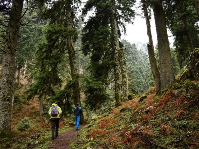
Category: Hiking
The best way to admire Meteora is to take a hike on its steep cliffs and admire the view from the monasteries.
Distance 1.210,00 m. | Technical Difficulty Moderate | Max Altitude 1073 m. | Duration 40 minutes The chapel of Agia Triada is located in a dense forest above Elati and in a 1025 meters altitude. There are several routes to get there. From the village square we follow the road…
View more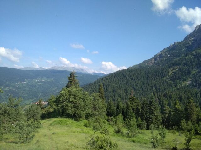
Distance 2.980,00 m. | Technical Difficulty Moderate | Max Altitude 1526 m. | Duration 2 hours The trailhead starts at the junction of the forest road above Elati with the small tractor road leading to Gouva. This route is one of the most impressive in the area, as it passes…
View more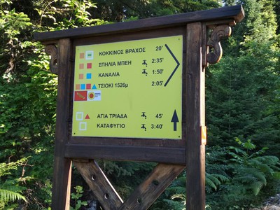
Distance 2.880,00 m | Technical Difficulty Moderate | Max Altitude 1332 m | Duration 1 hours and 50 minutes The trail starts from the centre of Elati, following the uphill road across the village. It is the starting point of all the paths from Elati to the peaks of Koziaka….
View more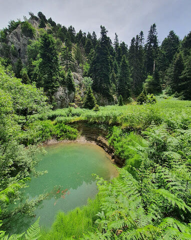
Distance 7.370,00 m | Technical Difficulty Moderate | Max Altitude 1200 m. | Duration 4 hours and 20 minutes The village of Agios Vissarion, also known as Dousiko, is located just 1 km north of Pyli and is known for the large monastery of the same name above the village….
View more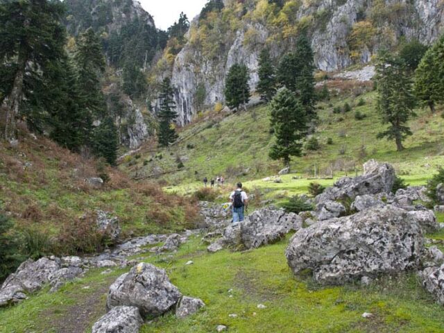
Distance 28.700,00 m. | Technical Difficulty Moderate | Max Altitude 1814 m. | Duration 14 hours The trail starts from ancient Pialia and after crossing a forest with deciduous trees, of the eastern side of Koziaka, it reaches the fir forest at the Bay site. At the Bey position there…
View more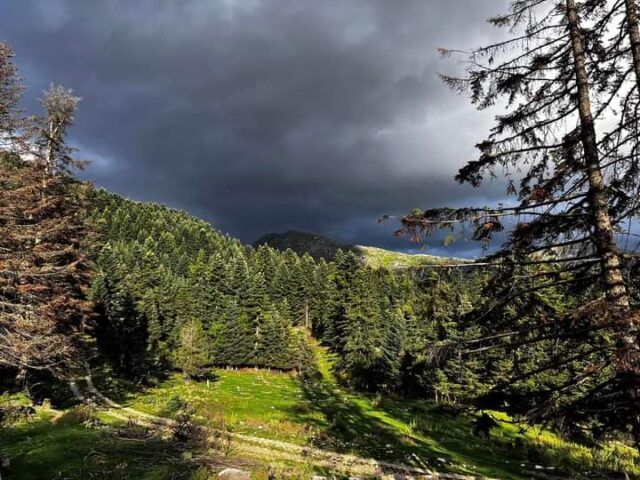
Distance 33.580,00 m | Technical Difficulty Moderate Max Altitude 1259 m. | Duration 14 hours and 20 minutes The Vlachostrata is the main path (strata) of the residents of the mountain of the region of Trikala from the lowlands to the lowlands and vice versa from the lowlands to the…
View moreSEARCH
Looking for more?
Cras rutrum tellus et vulputate accumsan. Sed id ultricies mauris, nec semper nisl.