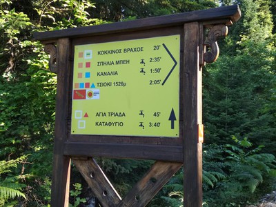
ROUTE Pertouli – Agia Kiriaki
Pertouli – Paliokorpi – Agia Kiriaki
Address
Pertouli 420 32
GPS
39.541650714896, 21.467918157578
Distance 3.450,00 m | Technical Difficulty Moderate | Max Altitude 1342 m | Duration 1 hour and 50 minutes
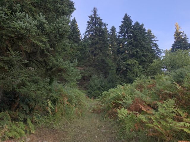
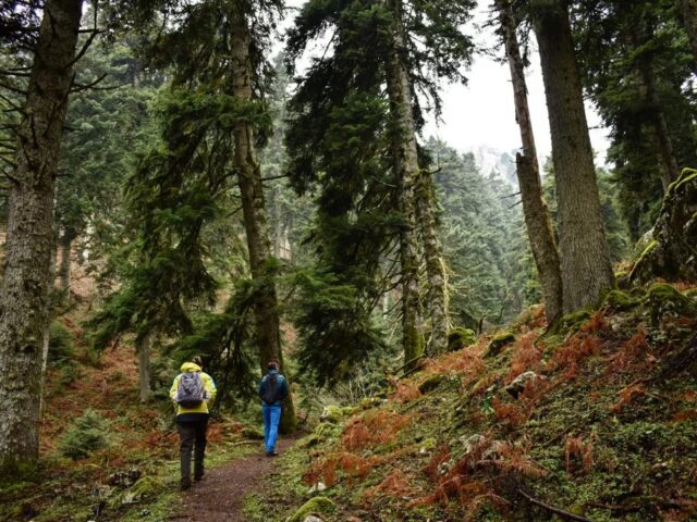
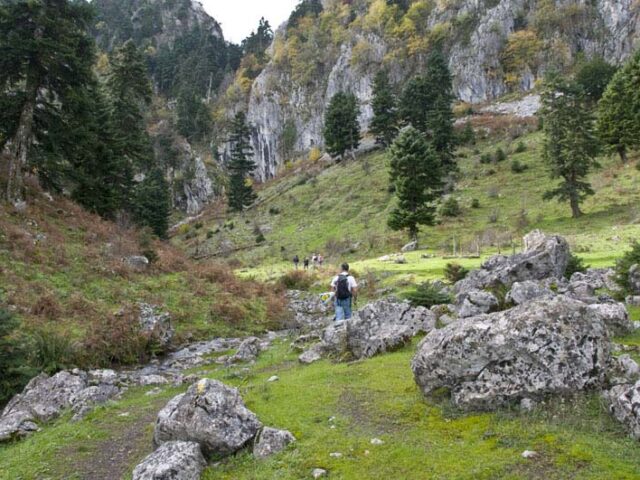
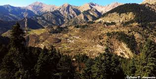
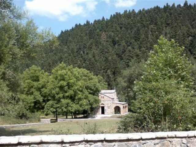
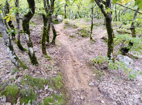
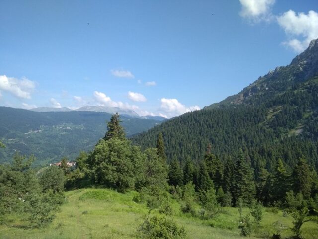
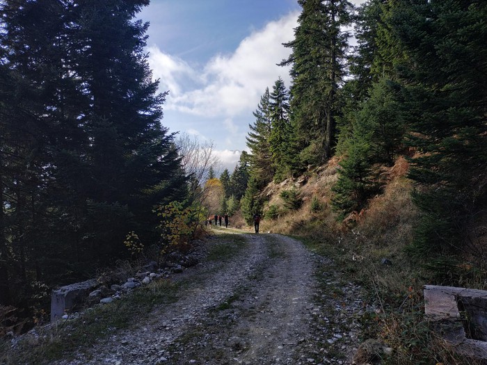
The route climbs all the way up the village and at the top of the village, it enters the forest. A little higher up, it passes near the remains of the British Headquarters and then moves northwards with a smooth ascent to reach the Paliokopri position. Here it meets the long path crossing the Neraida which follows it in reverse and ends at Agia Kiriaki on the main road to Pertouli.