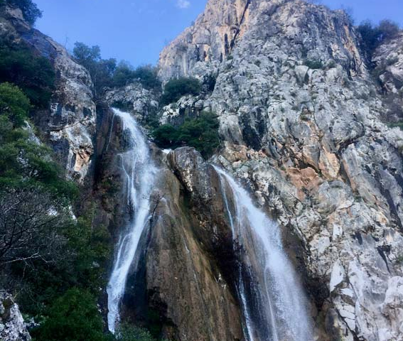
ROUTE Elati – Kosta
Elati – Kosta
Address
Elati 420 32
GPS
39.5020582, 21.5388585
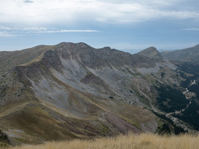
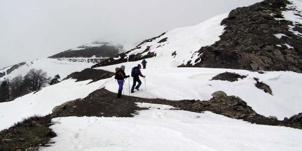
Distance 2.880,00 m | Technical Difficulty Moderate | Max Altitude 1332 m | Duration 1 hours and 50 minutes
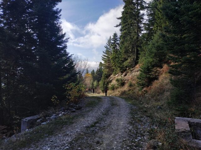
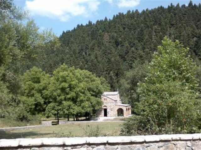
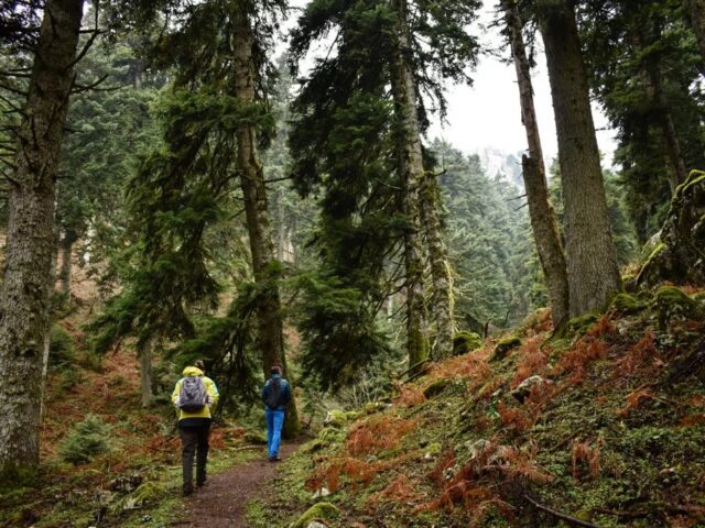
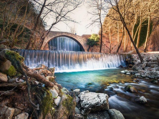
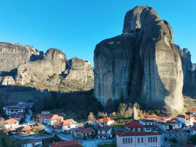
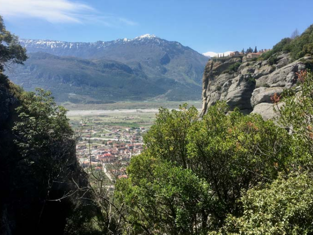
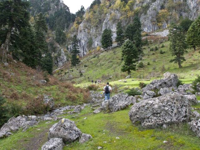
The trail starts from the centre of Elati, following the uphill road across the village.
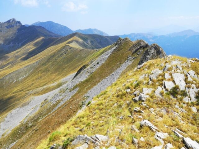
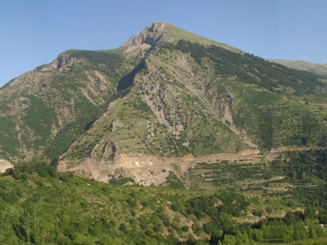
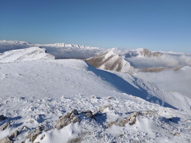
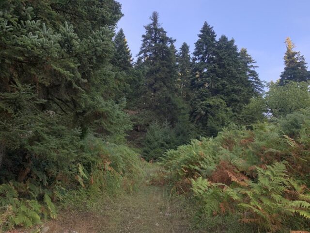
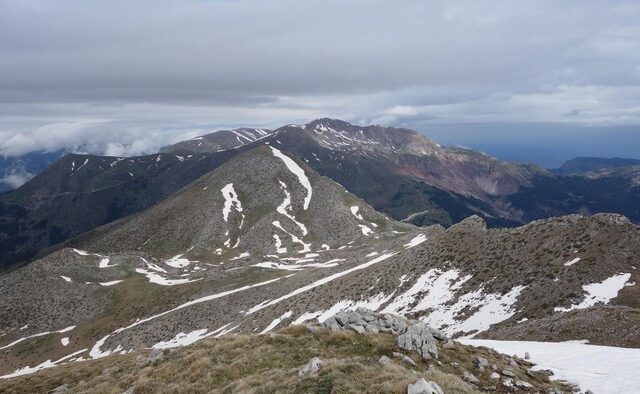
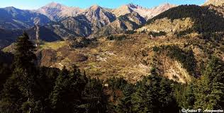
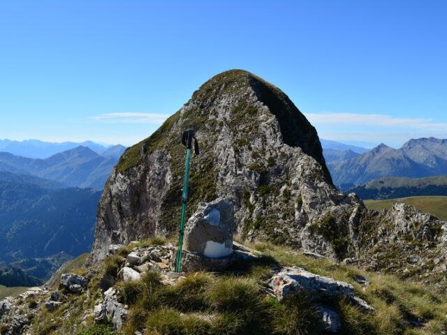
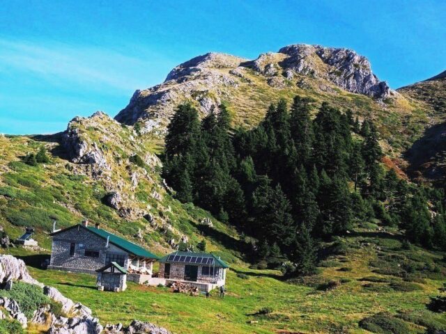
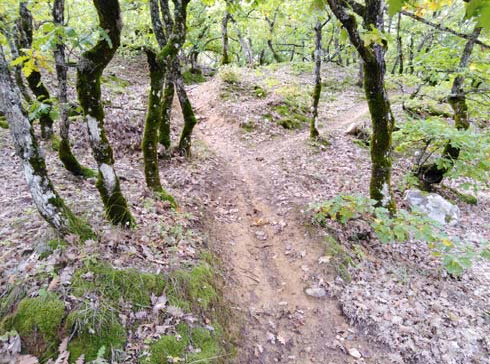
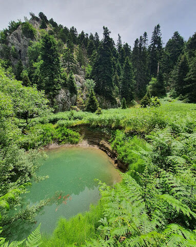
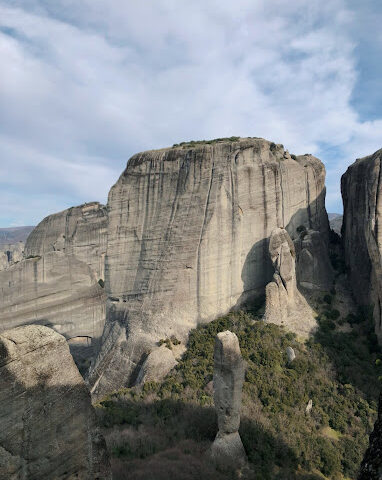
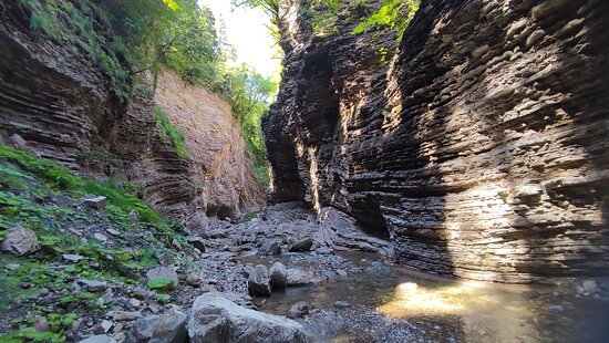
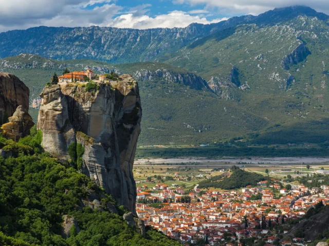
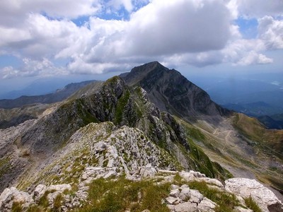
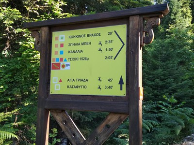
It is the starting point of all the paths from Elati to the peaks of Koziaka. Ascending the road in the Tsionaki area of Elati, at 440 metres the road becomes a dirt road at the boundary of the last houses of the village. After going 40 meters on the dirt road there is a junction on the right with a sign to Kokkinos Vrachos, Bey etc (leave the forest road and follow the path on the right). Kokkinos Vrachos is a characteristic rock visible from a village and on which there are climbing routes. We follow the path and after 400 meters of trail we meet a crossroads where on the right leads to Kokkinos Rock and on the left to the Kostas site. If we go right the marked trail leads after 50 meters to the top of Kokkinos Rock. From the top of Kokkinos Vrachos (1050m) we have an amazing view to Elati and the Pindos and Agrafa mountain range. The path to the Kostas site at the junction continues left and crosses the Pano Livadia, privately owned meadows that used to be cultivated by the locals. At Pano Livadia there is a junction where a path with yellow triangular signs leads right to Kato Livadia and from there back to Elati, passing the base of Kokkinos Vrachos. After crossing Pano Livadia we reach a stable and continue along the forest road. After 20 meters on the forest road we have to turn left and follow the path. The path gradually climbs uphill and traverses the wooded slopes. After about 500 meters from the stable we reach a smooth place called Tsouknidoula. At Tsouknidoula the trail meets the path to Thyra which passes through Gouba and is marked with blue square signs. At Tsouknidoula the path changes direction and goes south passing through small islets. The last smooth part (Voulaka and Chantakon site) the trail leaves uphill to the left and passes the Kostas site (or Kostas fir). The path winds through dense fir forest and in the openings crosses clearings that in the summer months are covered in ferns and meets the forest road. The route follows the forest road for about 500 metres where it reaches the upper part of the Kostas position where this trail ends but meets the Koziacas crossing trail. Going right it leads to Bay and Pialia while going left to the Monument of Papadia, Tsioki Peak, Kanalia and Trypio Lithari.